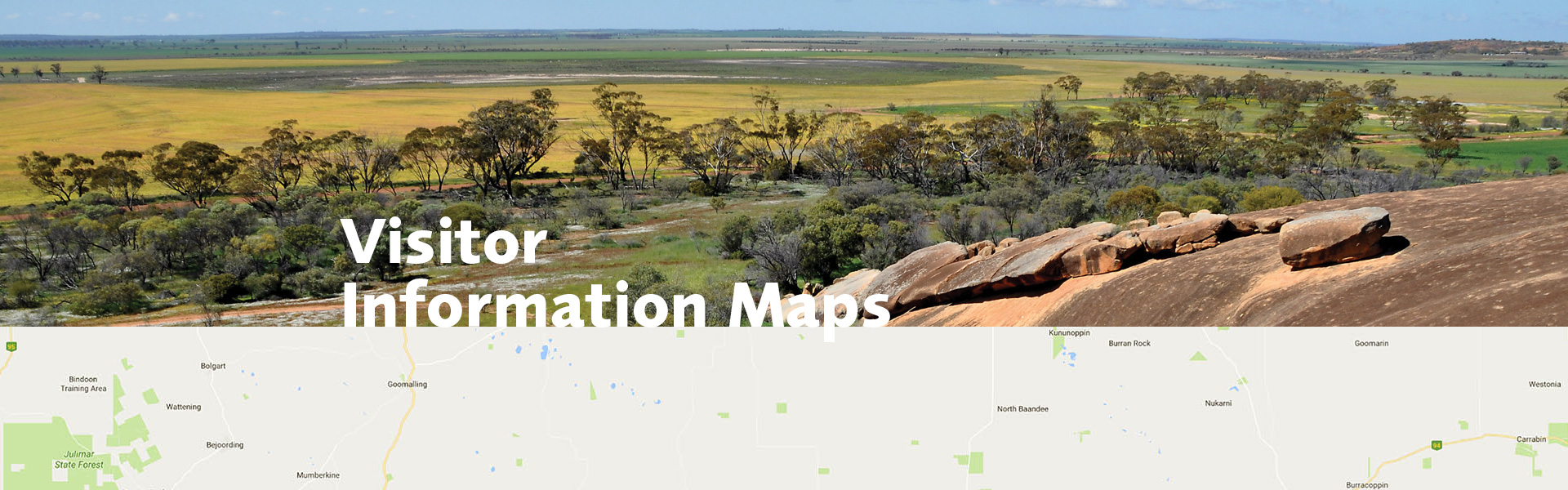
Wayfound’s suite of services includes the creation of the humble visitor information map. They don’t win any prizes for design, they just do their job of helping people find their way around in an unfamiliar place. They are a simple resource to provide information and reassurance for visitors to get them to their destination safely.
Visitor information maps have many benefits
A good quality, accurate visitor information map contributes to higher levels of visitor enjoyment and gives a positive impression of the place. They often provide information on attractions and facilities in the area; this means visitors may stay longer and spend more.
So, what’s the correct approach to designing and producing good quality visitor information maps?
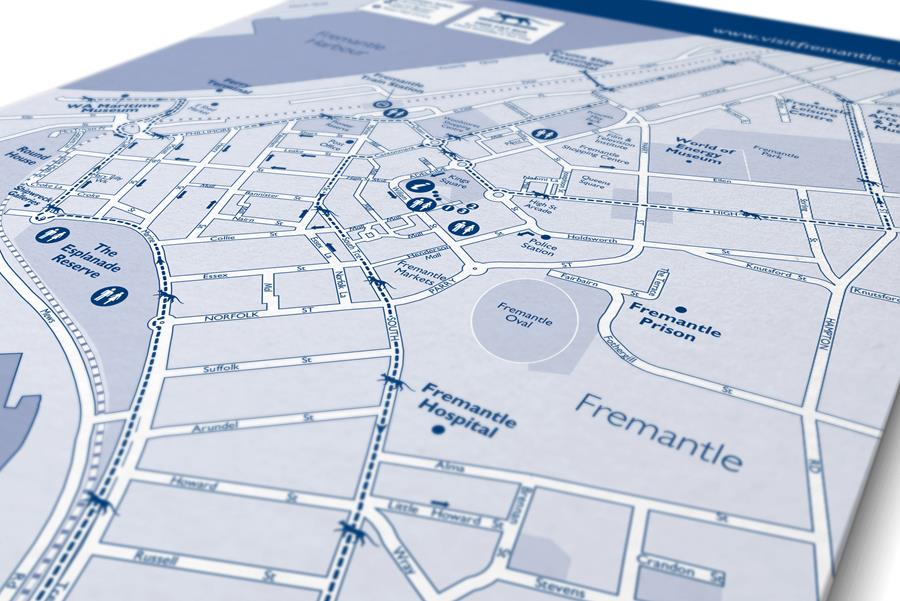
Simple A4 tear-off map pads we designed for the City of Fremantle. These are distributed to shops and tourist information outlets throughout the city in pads and are a quick simple way to give people clear directions to the city’s many attractions and services.
Key requirements for visitor information maps
When embarking on a project to create a new map for your region, city or shire you need to answer the following questions.
- Who will be using the map and what do they need to know?
- How will the map be used?
- Is the data or information needed for the map available? (This might be on your existing map or GIS system.)
- How and where will users get the map?
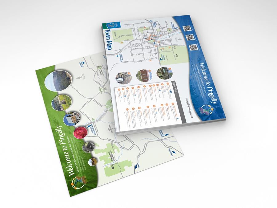
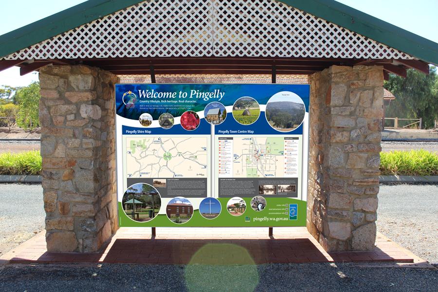
A3 map pads designed for the Shire of Pingelly. These maps mimic the same style as the town visitor information bay below for user familiarity.
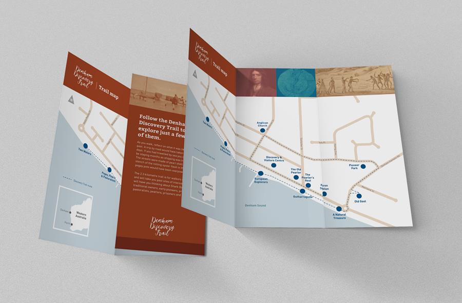
Shire of Shark Bay – Denham Discovery walk trail map A4 folded to DL pocket map
Who will use the map?
Who will use your map and what for? Is it to show people how to get around your region and the services and attractions on offer? Is it for a tourist drive trail, a walk trail or for an activity like mountain bike riding or bushwalking? Each of these will have different requirements.
For example, a regional tourism map will require up-to-date information about where services are available, the distance between them and attractions and how long it will take to get to there. A drive trail map needs to emphasise the attractions on offer, where they are located, how long it will take to drive the trail, the expected road conditions, and any preparation to consider before starting (fuel, water, food, first aid, emergency notification etc.).
A wallk trail needs to show walkers how long it will take, the degree of difficulty and fitness required, where to expect interpretive information, where to find additional information about the trail e.g. website, phone app.
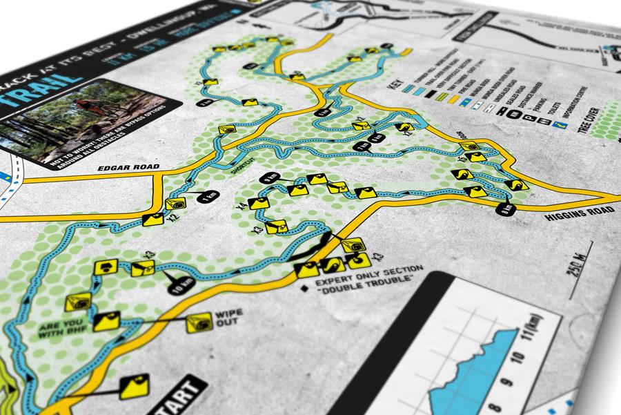
Shire of Murray – Mountain Bike Trail Maps developed for the Shire of Murray’s Dwellingup Trail Centre.
How will the map be used?
Before beginning a map design project it is always important to consider “who will use it?” and “how they will use it?” Even in this digital age, there is still room for the printed map. Done properly they are quick and simple to distribute, are inexpensive to reprint, don’t require WIFI or internet access or any special devices to view them.
If you are designing a map to be used by bush walkers it must fit easily into a pocket and not be difficult to fold. Maps can be designed to fold in different ways so the user can open just the part of the map that covers the section of trail they are using. If your map is primarily aimed at elderly users legibility factors such as type size, colours and contrast used must be considered.
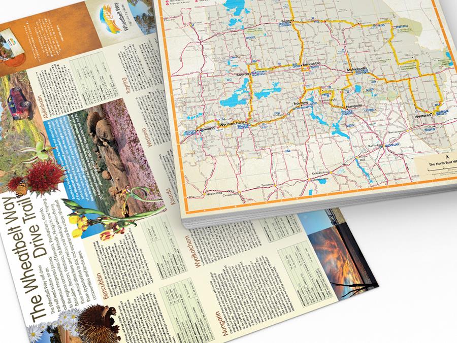
North Eastern Wheatbelt Region of Councils – Wheatbelt Way drive trail map and trail guide
Is the map data available?
For a map to have any degree of accuracy and serve its intended purpose good map data is a crucial requirement. One of the first considerations before starting a map project is “is the map data available?” Many rural shires don’t have access to good quality map data. In many instances, it’s a case of starting from scratch, working with satellite data to create an accurate map of all gazetted roads, rivers and geographical features within the shire. Wayfound has created map data a number to times. Once the map data is created it can be used in a wide range of applications – such as Visitor Information Bay maps, Visitor Centre maps, drive and walk trail maps, town/shire services maps.
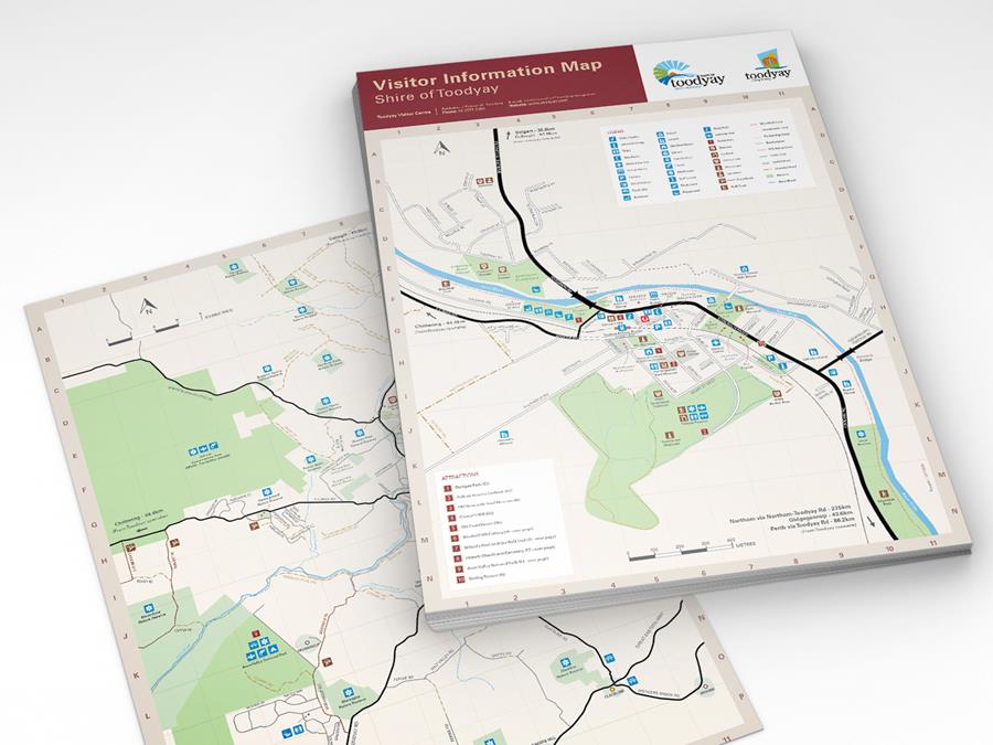
Tear-off A3 Visitor information maps developed for the Shire of Toodyay with town map on one side and shire map on the reverse. This style as been adopted across all of the Shire of Toodyay visitor information bays and walk trails.
Where and how will users get the map?
Before any maps are produced, you need to consider how the maps will be distributed? Will users pick a printed one up from a regional visitor centre brochure? If so, do they need to fit in a particular size brochure racks? Or how much space will it take up on the counter? Or will users download it from your website and print it out? If so, does it need to be compatible with standard size home printers? Will it need to be compatible with websites and phone apps? Will it work easily in large scale – say on the Visitor Information Bay?
Wayfound can help
We hope this information is helpful and will make the planning and delivery of your next map project easier. If you have any questions or you’re planning a map project this year please give us a call, we can help with map data creation, design, printing, web and signage applications.