

Background
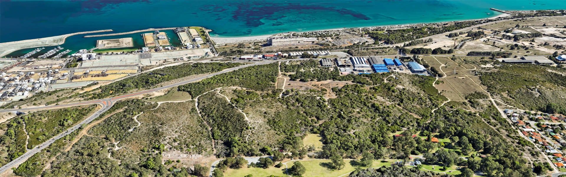
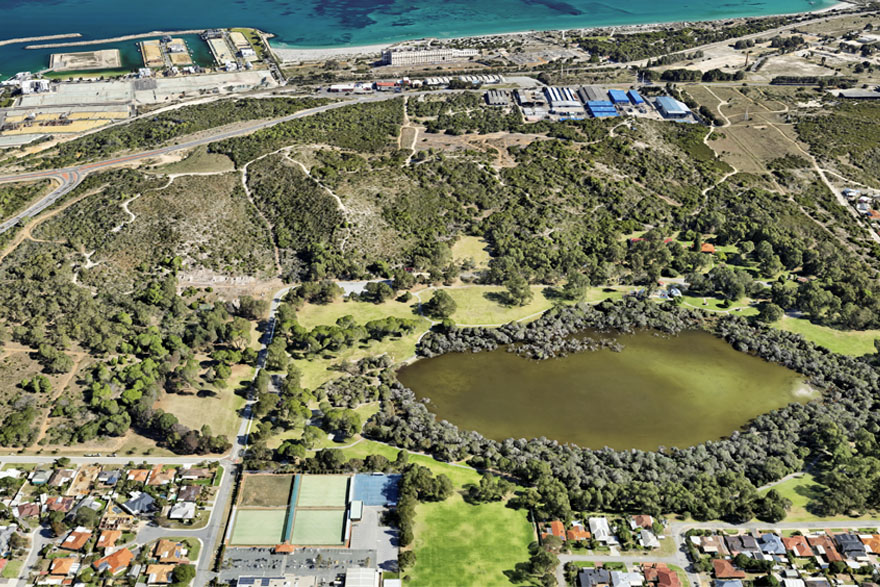
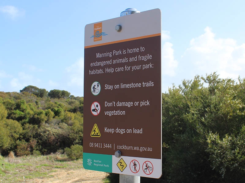
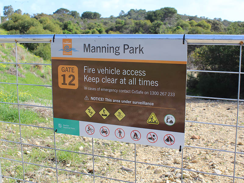
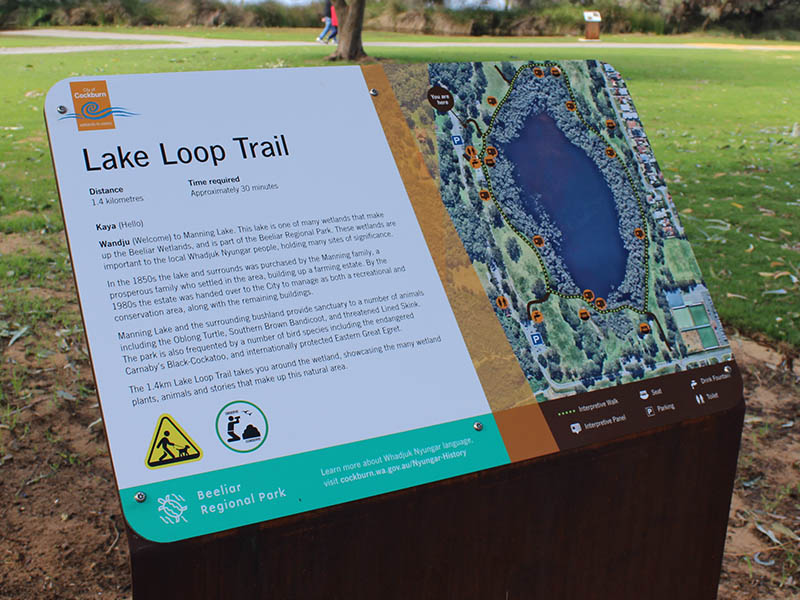
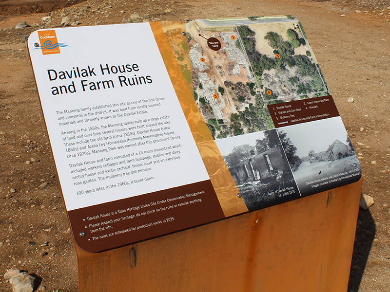
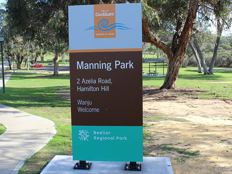
Manning Park covers over 117 hectares and makes up the north-west sector of the Beeliar Regional Park. The park encompasses significant cultural and historic sites for both indigenous people and European settlers. The park has been a popular recreation area with locals for many years, particularly the established grassed play areas near the Manning Lake. Whilst well known to locals, in the wider community most people outside of the surrounding suburbs are not even aware of its existence. In 2017 Landscape Architects UDLA were commissioned to develop a masterplan for the park. Amongst the master plans recommendations was to develop a whole of park signage and interpretation plan.
Solution
To develop the plan we worked with the City of Cockburn’s Environmental Department, stakeholders and the local Cockburn Historical Group. We also engaged the services of Historian Dr Sue Graham-Taylor to research and develop the content for the interpretive component of the project.
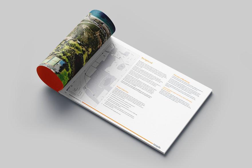
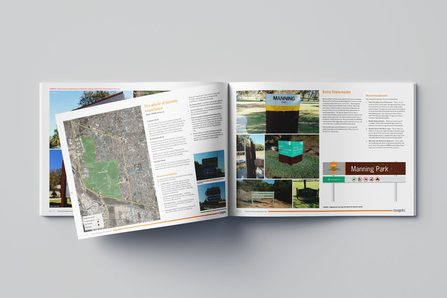
The Manning Park Signage & Interpretation Plan provides a comprehensive understanding of the state of all wayfinding, interpretive and regulatory signage throughout the park and its approaches and enables the City of Cockburn to plan, prioritise and budget for new and replacement signage. The adoption of a uniform signage and interpretation system for Manning Park will allow the same signage system to be rolled out to other parks and recreation areas within the City of Cockburn’s boundaries.
Deliverables
-
Manning Park Signage & Interpretation Plan